

Mon panier $0.00
0 Articles dans votre panier
Votre panier est actuellemnt vide.
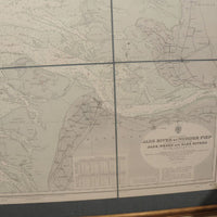
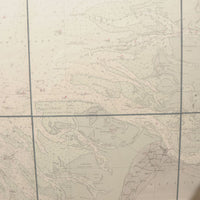
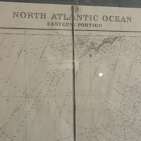
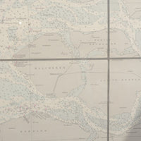
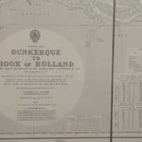
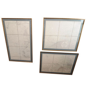
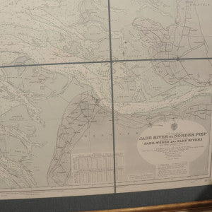
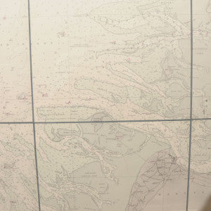
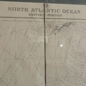
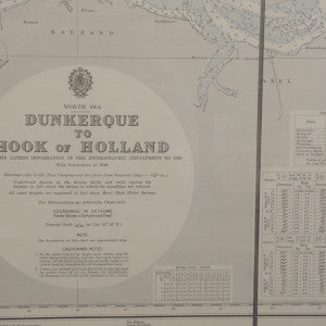
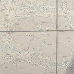
These great looking, beautifully matted and framed, early 20th century navigation maps are quite unique. You can actually see markings on them from where captains did their course plotting. They would be fantastic installed down a lengthy hallway; however each one is sold separately as they are strong enough to stand alone. There are a total of seven in the collection. Each varies in dimensions. Please inquire for distinct pictures and measurements of each map. Sold separately.
Period: 20th Century
Pickup available at MM Distribution Center
Usually ready in 24 hours


Votre panier est actuellemnt vide.